- Rapport
- Sol och vind
Use of remote sensing for performance optimization of wind farms
The main purpose of the project is to gain experience on the use of remote sensing technology in the post construction phase. The turbine performances have been evaluated using a nacelle mounted lidar at four different wind turbines at two Swedish wind farms.
The nacelle mounted lidar has been useful in the evaluation of the turbine yaw alignment relative to the wind direction in short measurement periods. No major yaw errors have been found at the observed wind turbines within this research project. There are large discrepancies found between operational power curves and commercial power curves. Moreover, large discrepancies have also been found in comparison of nacelle anemometry measurements with nacelle mounted lidar measurements.
Main challenge for all the measurement campaigns in this research project has been the issues related to the sites terrain complexity, in addition to fact that chosen sites being located at forested and cold climate environments. Relevant topics have been addresses as future work with the use of newly developed remote sensing techniques with the investigation of uncertainty sources.
Se Utku Turkyilmaz berätta om projektet! Åsa Elmqvist, programansvarig för Vindforsk, inleder.
Rapporter och publikationer
Här listas rapporter och resultatblad från programmet.
- Rapport
Vindkraftens bidrag till spänningsstabilitet
Den här syntesrapporten ger en något förenklad beskrivning av kraftsystemet ur perspektivet spänning och reaktiv effekt.
|2025:1079Monica Lexholm, Oliver Lindblom
- Rapport
System and Integration Costs 2021-801
Här diskuteras integrationskostnaden för vindkraft, det vill säga storleken på de övriga kostnader som tillkommer i ett kraftsystem när mängden kraft från vind och sol ökar. Målet är en samhällsekonomisk och hållbar elförsörjning där samtliga konsekvenser av olika försörjningsalternativ beaktas, inte enbart vad en viss anläggning kostar.
|2021:801Lennart Söder
- Rapport
Bayesian Methods for Preventive Maintenance 2018-484
Här presenteras en ny metod för att kostnadsoptimera underhåll av vindkraftverk. Det handlar om att med hjälp av matematiska verktyg som Bayesiansk statistik och statistiska simuleringsmetoder analysera Scada-data för att kunna förutse behovet av förbyggande underhåll och byte av komponenter.
|2018:484Bahri Uzunoğlu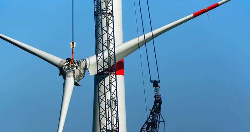
- Rapport
Analysis of Vacuum Breaker Generated Transients in a 36kV Wind Farm Cable Grid 2018-502
Vindkraftägare och nätägare lyfter ofta fram problem med genomslag, det vill säga kortslutning i apparater och i parker med 36 kV kabelnät. Det leder till produktionsbortfall och ökade kostnader. Hittills har det varit oklart vad som orsakar problemen och därför har det saknats lämpliga lösningar.
|2018:502Tarik Abdulahovic